Grand menhir brisé d'Er Grah
Locmariaquer, Brittany, France
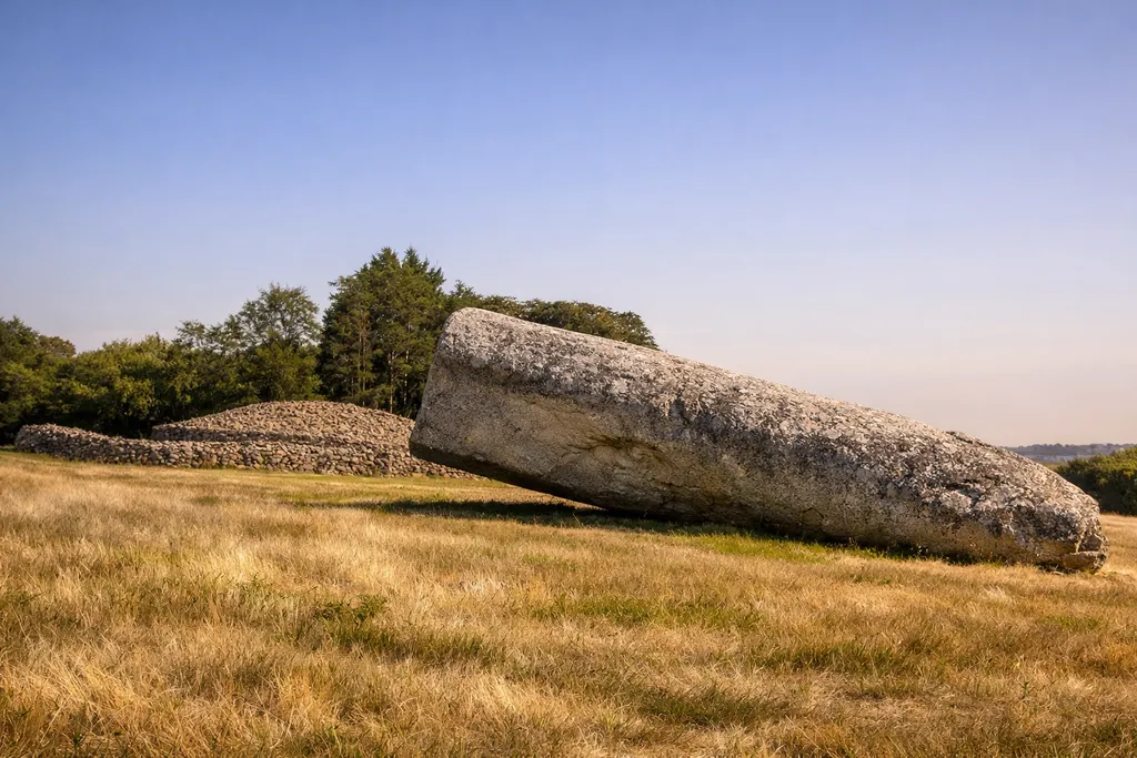
A monumental Neolithic menhir at Locmariaquer (Brittany) that once stood ~20 m high; now fallen and broken, it anchors debates about engineering, landscape planning, dismantling, and later reuse.
Claims about Grand menhir brisé d'Er Grah
- Originally one of Europe’s largest standing menhirs (now broken)
- Part of the Locmariaquer megalithic ensemble in a wider Morbihan landscape
- Simple 'astronomical sightline' or 'indicator' stories are not secure
- Why it fell and broke remains uncertain
- Dismantling and reuse: fragments may link multiple famous monuments (disputed)
- The engraved motif’s meaning is debated
- Engineering/transport explanations are plausible but not fully settled
- Modern heritage status shapes what we can see and how we talk about it
- The Locmariaquer landscape was repeatedly reconfigured over centuries
Evidence
- French Wikipedia technical summary (dimensions, material, names)
- Wikimedia Commons photo page with GPS coordinates
- Ministry of Culture dossier: 'Grand-Menhir brisé et les autres' (Mégalithes du Morbihan)
- POP/Mérimée record (legal protection as Monument historique)
- Transport and labour estimates (experimental archaeology references)
- Tumulus d’Er Grah chronology and relationship to the menhir landscape
- Disproved 'indicator menhir' idea (Er Grah end-marker interpretation)
- Large stele refit hypothesis: Table des Marchands + Gavrinis (shared monolith fragments)
- UNESCO application association overview of the Locmariaquer ensemble
- SRA Bretagne digital library entry for Locmariaquer scholarship (Le Roux and others)
- Material and sourcing notes (orthogneiss; local/regional procurement)
- Coordinate cross-check source (Techno-Science summary)
- Serial landscape framing (why Locmariaquer matters within Morbihan megaliths)